Tourist Information Schwangau
- en.schwangau.de
- Activities
- Hiking and biking around the castles
- hiking trails close to Neuschwanstein castle
King's round on the Tegelberg
Themenweg
· Allgäu
geöffnet

Verantwortlich für diesen Inhalt
Tourist Information Schwangau Verifizierter Partner Explorers Choice
Tourist Information Schwangau Verifizierter Partner Explorers Choice
-
 King's round on the TegelbergFoto: Stephanie Müller, Tourist Information Schwangau
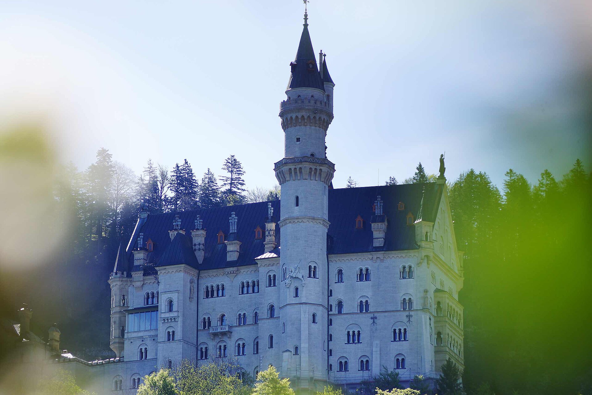
Panorama trail for the whole family with spectacular views and entertaining information about the hiking and hunting habits of the Bavarian royal family. With a bit of luck, you may spot the ibex family that has taken up residence on the Tegelberg.
geöffnet
leicht
Strecke 1 km
1:00 h
91 hm
91 hm
1.801 hm
1.710 hm
Autorentipp
If you are sure-footed and not afraid of heights, you can make a detour to the Branderschrofen. At www.schwangau.de/tisch you will find numerous places to stop for refreshments as well as the possibility to make table reservations.

Autor
Tourist Information Schwangau
Aktualisierung: 07.06.2023
Schwierigkeit
leicht
Kondition
Erlebnis
Landschaft
Höchster Punkt
1.801 m
Tiefster Punkt
1.710 m
Beste Jahreszeit
Jan
Feb
Mär
Apr
Mai
Jun
Jul
Aug
Sep
Okt
Nov
Dez
Wegearten
Höhenprofil anzeigenStart
Tegelberg cable car station
Koordinaten:
DD
47.559576, 10.779060
GMS
47°33'34.5"N 10°46'44.6"E
UTM
32T 633833 5268884
w3w
///antraten.fliesen.monaten
Ziel
Tegelberg cable car station
Wegbeschreibung
If you don't have too much time or only want to hike a short distance from the Tegelbergbahn mountain station, this is the right place for you. After you have taken to the Tegelberg with the cable car, the path leads eastwards up towards Branderschrofen, the actual summit of the Tegelberg. After about 5 minutes you reach the first vantage point, in the north you can see the Auerberg near Stötten on the horizon. Continue on to the lookout pulpit, which faces west and presents you with some summit names of the Tannheimer and Allgäuer mountains. From here it's a few minutes to the Branderschrofenschulter, from which the 360-degree view will give you a lasting experience. With two Viscope telescopes, you can take a closer look at the surrounding mountains. Afterwards, hike back to the mountain station via the path, which branches off to the left just above the Branderschrofenschulter. Or you can set off on foot in the direction of the valley.
Öffentliche Verkehrsmittel
RVA-Bus Nr. 78 Busstop TegelbergKoordinaten
DD
47.559576, 10.779060
GMS
47°33'34.5"N 10°46'44.6"E
UTM
32T 633833 5268884
w3w
///antraten.fliesen.monaten
Anreise mit der Bahn, dem Auto, zu Fuß oder mit dem Rad
Status
geöffnet
Schwierigkeit
leicht
Strecke
1 km
Dauer
1:00 h
Aufstieg
91 hm
Abstieg
91 hm
Höchster Punkt
1.801 m
Tiefster Punkt
1.710 m
Statistiken
Karten und Wege
- 2 Wegpunkte
- 2 Wegpunkte
-
Tour
-
Neigung
km
Strecke
: h
Dauer
hm
Aufstieg
hm
Abstieg
m
Höchster Punkt
m
Tiefster Punkt