- en.schwangau.de
- Activities
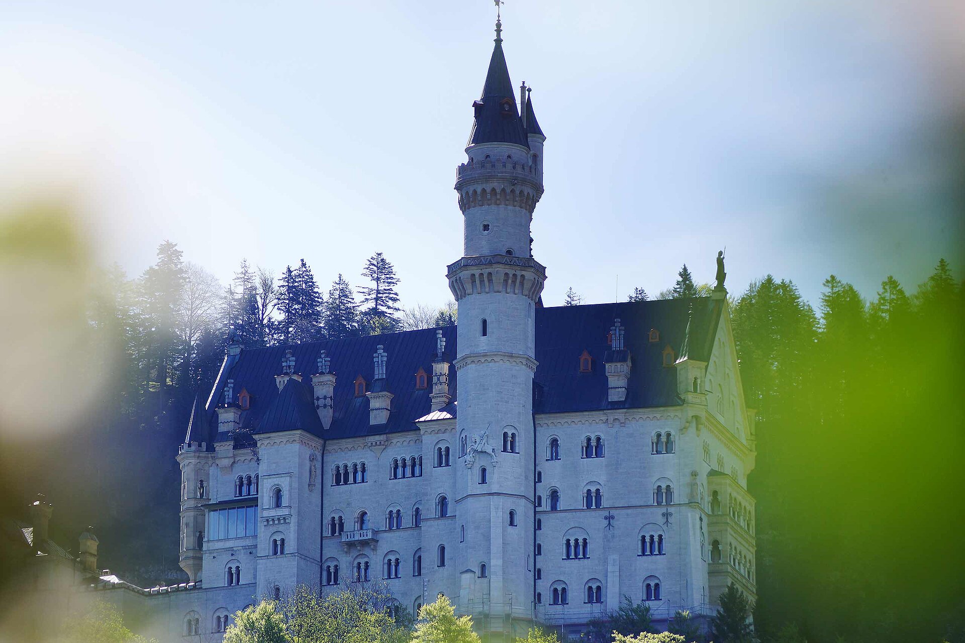
- Hiking and biking around the castles
- hiking trails close to Neuschwanstein castle
Walk in the Kurpark Schwangau

Tourist Information Schwangau Verifizierter Partner Explorers Choice
-
 Kurpark SchwangauFoto: Jana Lebetz, Tourist Information Schwangau
In 1824 the area was still used as a communal cattle pasture and only in 1936 it was redesigned as a recreation area for guests and locals. Today, the Kurpark is a certified terrain spa trail. Terrainkur trails are selected according to medical-therapeutic criteria (length, incline and decline) and classified according to difficulty. They must allow for a differentiated load capacity of the human organism.
Autorentipp

Wegearten
Weitere Infos und Links
With the Schwangau hiking pass for big and small hiking enthusiasts, you now have the opportunity to explore our unique natural landscape on your own. As proof of your achievement, you will find a small wooden box with a punching tool on the respective routes.
Simply punch the corresponding hiking route in your hiking passport and show it at the tourist information after completing enough hiking tours. There you will receive a hiking pin as a reward and the little hikers a hiking certificate.
The printed Schwangau hiking pass is available free of charge at the Tourist Information Schwangau, at the information point in Hohenschwangau, at the Tegelbergbahn valley station and at the Ziegelwies Forest Adventure Center.
https://www.schwangau.de/aktivitaeten/wandern-und-klettern/wanderpass-schwangau/
Start
Wegbeschreibung
Öffentliche Verkehrsmittel
Bus:
- Rathaus bus stop (walking time approx. 5 min)
- Föhrenbergweg (walking time approx. 7 min)
- Hotel König Ludwig (walking time approx. 7 min)
Anfahrt
In the direction of Schwangau centerParken
Parking possibilities:
- At the Schlossbrauhaus (walking time approx. 5 min through the middle village)
- At the Royal Crystal Spa (walking time approx. 2 min)
- On the parking lot of the municipality (on the Schlossstraße) - walking time approx. 5 min
Koordinaten
Statistiken
-
Tour
-
Neigung